A few showers and thunderstorms hit Southern California overnight as cooler weather moved into the region for Wednesday.
“Definitely a cooler air mass pushing through,” KTLA Meteorologist Henry DiCarlo said Wednesday morning. “Yesterday we were above the average … It’s going to be a struggle to get to the average today.”
The low-pressure system will deepen the marine layer, bringing a continued chance for light showers and even a possible thunderstorm Wednesday, the National Weather Service (NWS) said.
“Most of the energy is in through Central and Northern California,” Henry said. “Maybe we get a little activity out in the high desert, and that’s why we get a chance of thunderstorms.”
A viewer in Victorville emailed KTLA Wednesday morning to report a thunderstorm that “felt like a tornado” hit the area. “Felt like I was back home in Dallas Texas all over again,” Gilbert Hernandez said.
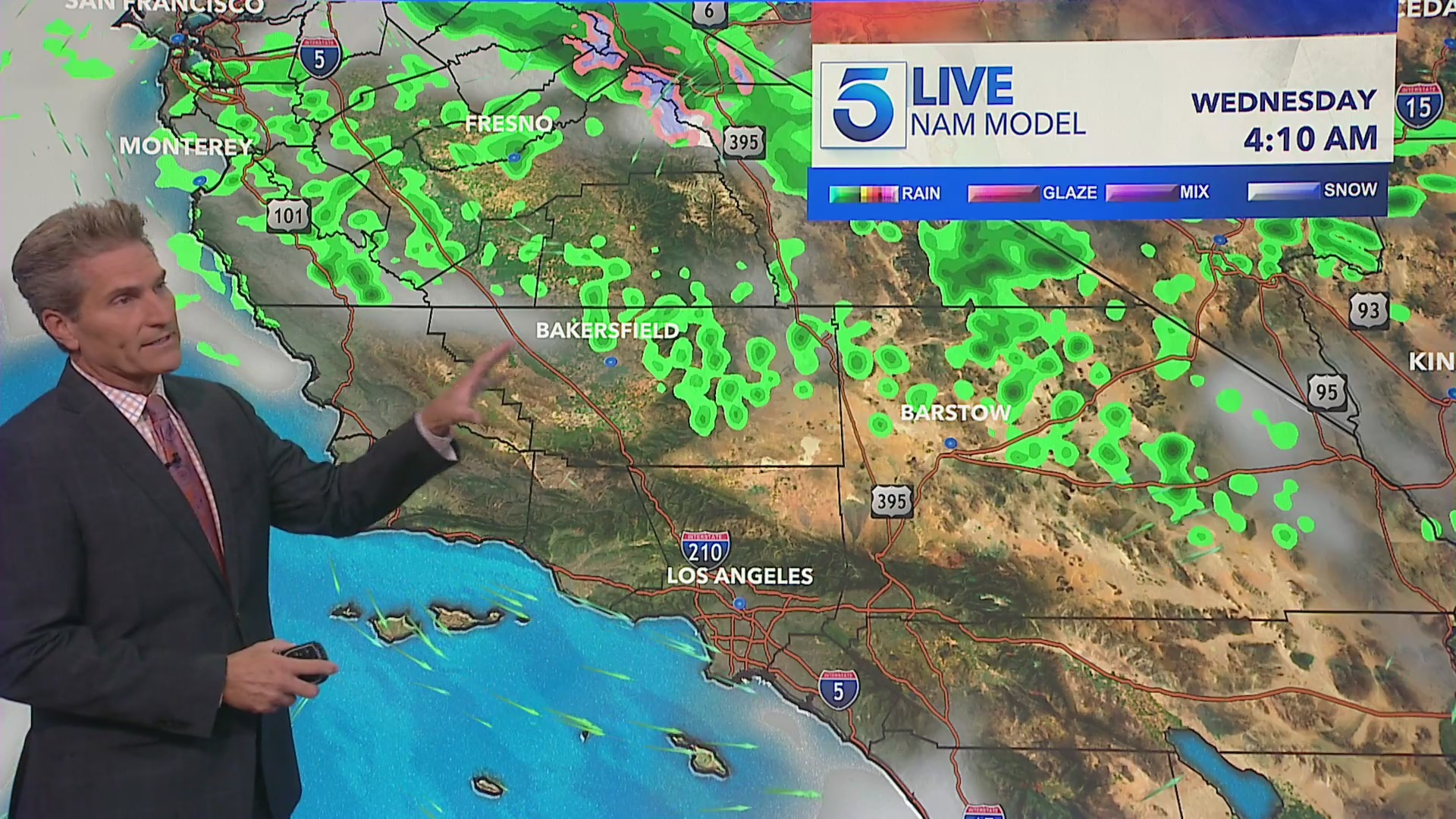
Thunderstorm chances are expected to dissipate later in the afternoon before a high-pressure ridge brings warmer temperatures back to the region on Thursday and Friday.
Another cooldown is slated to arrive this weekend.