This is an archived article and the information in the article may be outdated. Please look at the time stamp on the story to see when it was last updated.
LOS ANGELES (KTLA) – CalFire, the California Department of Forestry & Fire Prevention, is offering the public an interactive, three-dimensional view of the Palisades Fire in the Pacific Palisades area of Los Angeles.
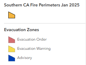
The map shows the active wildfire perimeter and the areas under mandatory evacuation orders and warnings.
Users can also pan and zoom the map to see the location of the fire in relation to other areas of Los Angeles, including Santa Monica, Malibu and the San Fernando Valley.
Map not displaying correctly? Tap here.
As of Friday morning, officials said the Palisades Fire had scorched more than 20,000 acres and destroyed thousands of structures, many of them homes. The cause of the fire remained under investigation.